
Finding Easton Residents by Street
An address search in Easton is a sequence, not a ready-made roster. Begin with the parcel address and the Easton assessment record, then use the Easton map and recorded-land tools to test the same location from several angles. That order keeps ownership, a recorded transaction, an application, and a dated household listing from being treated as the same claim. The strongest current Easton trail is assessor location search, Town GIS, Registry Street Inquiry, party-name deed checking, tax and permit context, a lawfully obtained municipal voter list, then dated directory, newspaper, census, or Sanborn evidence.
- Search the Easton property-card portal by location and record the owner, map or lot identifiers, and any book or page references.
- Open the Town GIS with the same address. Select the black parcel point, then compare parcel boundaries and the available zoning or Aquifer Protection District layers.
- Use the Registry street inquiry for discovery, then search each relevant party name in both grantor and grantee directions to complete the deed chain.
- Use tax and permit records as dated context. They may name an account holder, owner, or applicant, but none alone confirms a current household.
- For an address-date snapshot, ask the Town Clerk about a lawful municipal voter list, then compare historical directories, newspapers, census schedules, and Sanborn maps.
Each Easton result should keep its own date and source. That makes the address trail useful for Easton family, property, and neighborhood history without turning a parcel record into a present-residence claim.
Easton Street Directory Property Search
The Easton Board of Assessors property search is the best first stop for an exact current address. Its Property Search tab permits a location search with number, street name, and unit controls. A searcher can also use owner name, MBL, Unique Identifier, or Property Use. These are optional fields, so a narrow street query can be a practical way to begin an Easton address trail rather than guessing a full owner name.
| Easton field | Input | Use by address |
|---|---|---|
| Owner Name | Optional text | Use a last name to verify a party found in a deed. |
| Location | Optional number, street, unit | Primary route for a street or single parcel. |
| MBL | Optional text | Cross-check the municipal book or lot-style identifier. |
| Unique Identifier | Optional text | Connect a property result to local GIS information. |
| Property Use | Optional selector | Limit a result set when a street has mixed uses. |
Easton results display Street, Number, Unit, Name, Uniqueid, MBL, Use, Acres, Zone, and Buildings. The street name opens the Easton property card. The listed name is an owner or assessment-account name, not proof that person lives at the situs address.
The Northern Bristol recorded-land index is pictured below, ready for the party and reference details supplied by an Easton property-card search.
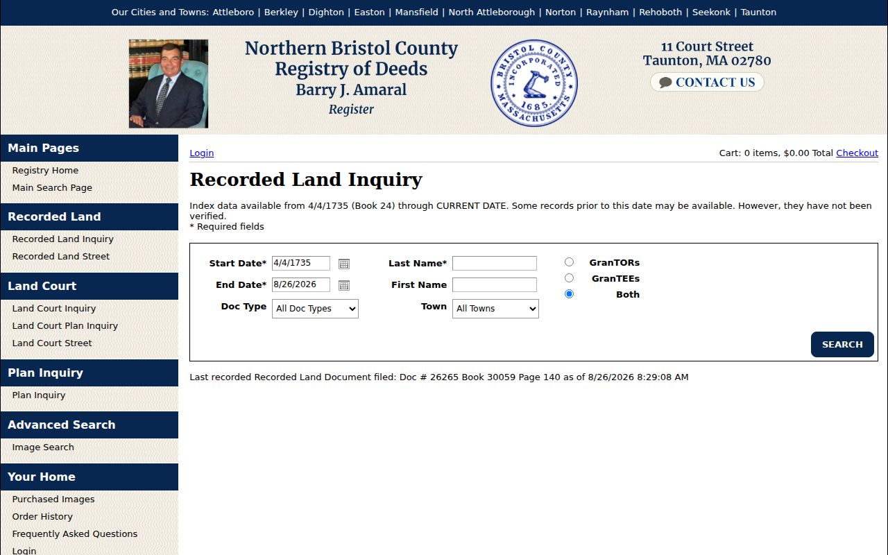
The screen is most useful after a location search supplies a name, date, book, or page that can be checked against recorded land.
Easton Street Parcels in GIS
The Town of Easton GIS property viewer adds the spatial part of an address search. The Town’s instructions say to search by address, select the black dot for the property card, and open Layers for zoning and Aquifer Protection District information. Panning and zooming reveal nearby parcels. The research did not verify a separate neighbor-radius tool, a complete live popup field set, or an export control, so the map should be read as a parcel-context tool rather than a complete people search.
Compare the exact Easton street spelling, parcel geometry, map number, and layers before joining an Easton map result to a deed. A zone may explain a parcel’s use, but it does not identify an occupant. The same caution applies when an older Easton source uses a village name instead of the present mailing label.
- Parcel
- A defined piece of land used by the assessment and mapping system.
- Situs address
- The physical location of the parcel, distinct from any address used to receive mail.
- Map or lot identifier
- A local property reference that can help connect a card, map, and recorded instrument.
- Criss-cross directory
- An address-arranged historical directory, when a repository holds one, used to locate dated listings by location.
Note: Parcel geometry can confirm that two records concern the same land, but it cannot establish who occupied a building on a given date.
Easton Street Inquiry Limits
The Northern Bristol Registry’s Recorded Land Street Inquiry can locate documents tagged with a street. It requires a start date, end date, document type, street name, and town selection. Street Number appears with a double-asterisk notation, but the inspected page did not clearly say whether it is optional or conditionally required. Test the live form rather than assuming that field rule. Enter Easton in the town selector and try historic spellings or abbreviations when a modern street search fails.
The Registry warns that many Easton recorded documents do not contain a street number or even a street name. For that reason, an Easton street result is a lead. Take the party name, document number, and book or page from the result, then finish with a name search. That name check is what turns an address hit into a more reliable recorded-land chain.
The official street-keyed Registry search appears here as an Easton street directory source.
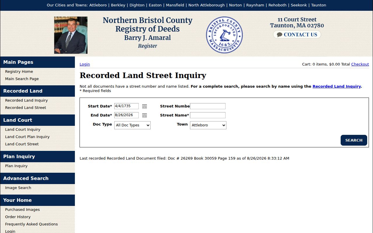
The page’s warning about incomplete street data is why every promising result needs a follow-up party-name search.
Easton Street Directory Deed Names
The Registry’s recorded-land inquiry provides the party search that completes the street search. It advertises index data from April 4, 1735, beginning at Book 24, through the current date. For a current Easton parcel, search the owner or a prior owner as both grantor and grantee, use a narrow date range, choose Easton, and examine the document image or book and page. A grantor transfers an interest; a grantee receives one. Neither title tells you who actually lived at the property.
Easton Registry indexing can include spelling variants, trustees, estates, corporations, and confirmatory documents. A recorded Easton deed may provide a prior book/page reference that points further back. When the address does not appear in an instrument, the legal description, parcel context, abutters, and party chain are better evidence than forcing a modern number onto an old document.
Easton Address Record Roles
Names tied to one Easton address can have different roles. The Easton assessor card connects an owner of record to an assessment account. The situs is the parcel’s physical location. An Easton tax bill may use a billing address. A deed can name a grantee, trustee, mortgagee, or attorney-facing notice address. PermitEyes can show a site address, applicant, and owner in different fields. Treating all of them as residents creates false matches.
- Owner: the person or entity listed for assessment or a recorded interest.
- Mailing recipient: the address used for notices or bills.
- Applicant: the person submitting a permit request, which can be a contractor or representative.
- Voter: a date-specific registration entry that may be protected, inactive, or unavailable.
- Directory subject: a dated publication listing that must be corroborated before it is used as residence evidence.
Using these labels in your Easton notes makes an Easton address trail readable later, especially when an owner’s mailing address is elsewhere.
Easton Street Permit and Tax Context
Easton PermitEyes supplies separate public tabs for BLDG, ConCom, Planning, ZBA, and Health. Building records expose filters or columns for site address, applicant, owner, application date, issue date, category, type, status, fee, and attachments where displayed. Planning and ZBA likewise use site address and applicant fields. The portal’s full coverage period has not been confirmed, so absence from an online result is not evidence that no permit exists.
This Easton permit portal view is included for the street directory because it shows the address-centered route into local applications.
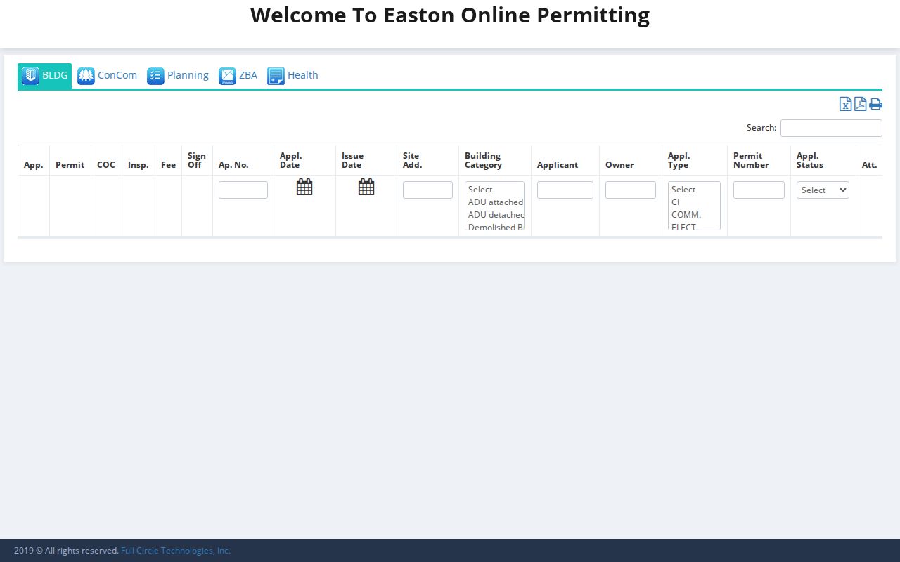
A permit result provides project context and a date, while the applicant and owner fields still need to be read as separate roles.
The Easton tax-bill portal searches last name or first initial, property number and street without the street type, bill year, type, or number, tax ID by bill number, account ID, link ID, and DBA. It lists account or bill information across real estate, personal property, and motor-vehicle categories. It is an account tool, not an open resident list.
The tax account search is pictured below as a complementary Easton address source.
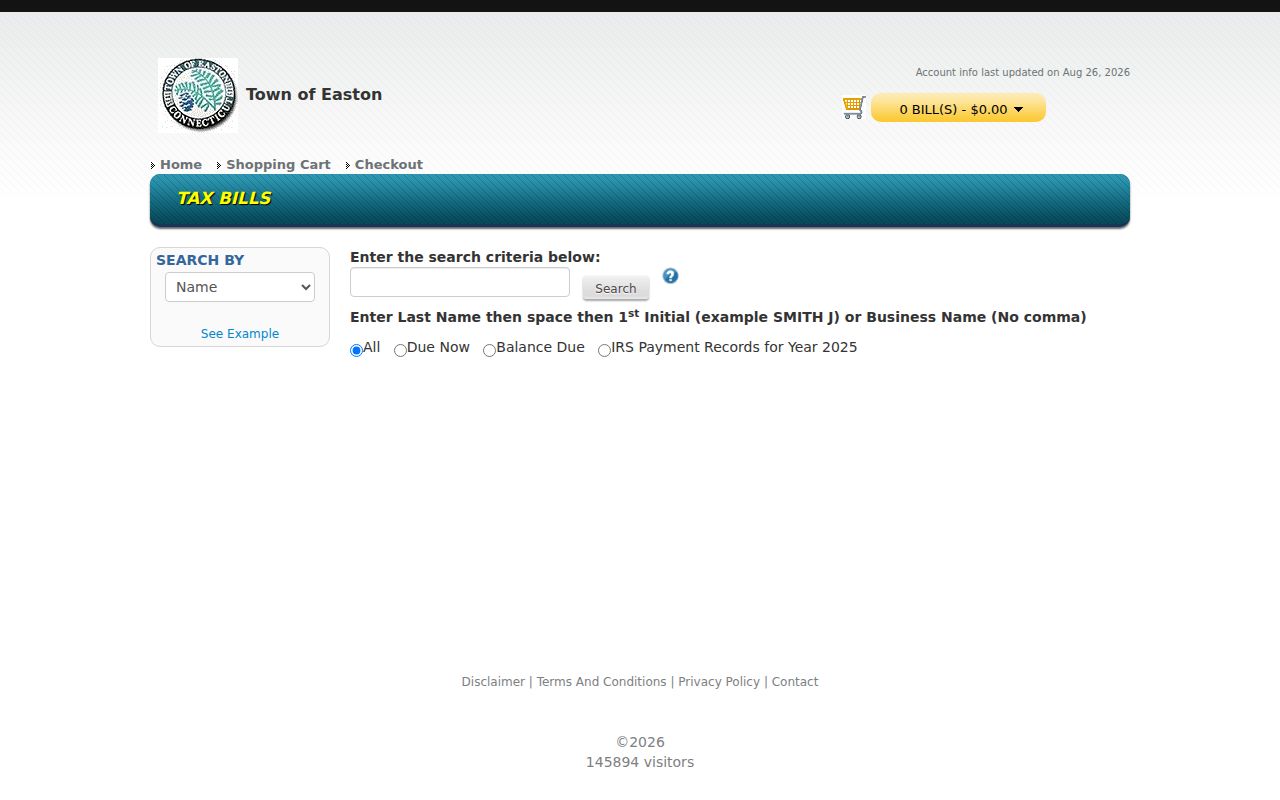
Use a bill record to document its account category and date, never as standalone evidence of who occupies the property.
Easton Voter Lists by Street
Massachusetts’ individual voter lookup is for a person checking their own status and requires name, full date of birth, ZIP code, and consent. It is not an Easton street directory. A municipal voter list is the relevant local route. The Secretary’s public-information guidance says a local list can include name, address, party, date of birth, active or inactive status, and voter ID, subject to legal and protective exceptions.
For towns above 5,000, M.G.L. c.51 §55 calls for voting lists arranged by street and numerical address order. Ask the Easton Town Clerk about a current or historical Easton municipal list, an inspection route, fees, and any protected-address restrictions. The statewide central registry is not an unrestricted public file. Do not use the self-service state status form to assemble names.
Note: A voter-list address is a dated registration record, and it can be unavailable or altered by legal confidentiality protections.
Easton Street Names Through Change
Historic street research in Easton needs village vocabulary as well as house numbers. Local historical materials use Eastondale, South Easton, Bay Road, Poquanticut, Hayward-Pool, Furnace Village, Unionville, Easton Center, Howard, and North Easton. An older directory, newspaper, or deed may describe a village, farm, boundary, or nearby owner rather than a present numbered address. Preserve the original wording, compare map or lot identifiers, and search the owner name before declaring two similar addresses a match.
Easton’s 2022 reprecincting notice reported that 5,329 of 9,901 voting addresses changed. That is an address-history warning, not a current population count or a ZIP change. A date belongs beside every old address comparison. Sanborn years identified locally, 1903, 1911, 1925, and 1925–43, can help verify a building footprint or use, but they do not identify the owner.
Easton Street Directory Record Coverage
These address-keyed sources overlap, but each answers a narrower question. Keeping the record type visible prevents a good street-level find from becoming an unsupported conclusion about a household.
| Easton source | Street connection | What it can establish | Access route |
|---|---|---|---|
| Easton assessor property cards | Easton location, MBL, identifier | Easton assessment owner, parcel, use, and sale-history references | Free Easton property-card portal |
| Easton Town GIS | Easton address and parcel point | Easton parcel geometry, zoning, and map context | Easton viewer and tax maps |
| Easton Registry deeds | Easton street inquiry and party names | Recorded parties, instruments, book and page | Free index and viewing; copies charged |
| Easton PermitEyes | Easton site address | Application, applicant, owner, status, and dates where displayed | Easton public portal or department request |
| Easton tax-bill portal | Easton property number and street | Account and bill context | Easton public account search |
| Easton municipal voter list | Easton street and numerical order | Dated registration data, subject to protections | Easton Town Clerk request or inspection where permitted |
| Easton directories, newspapers, census, Sanborn | Dated Easton address or place clues | Historical household or structure context | Easton library, archives, and historical collections |
Easton Street Record Requests
When a needed Easton record is not searchable online, direct a precise request to the office that holds it. Massachusetts public-records guidance recommends naming the department, record type, address, parcel or document number, date range, desired format, and contact information. M.G.L. c.66 §10 generally calls for a response within 10 business days. A narrow Easton request for a specific address range, permit type, or ledger series is more likely to reach the right custodian than a broad request for all information about a person.
For building material not visible in PermitEyes, Easton’s historical information-request form directs users to identify the property address and record type. For older maps and ledgers, ask the Town Clerk whether the relevant series has been inventoried. The Town’s FY2024 archival work identified maps and bound ledgers in Town Hall, a useful lead for location-specific history that is not necessarily online.
Easton Street Directory Boundaries
No public Easton street directory can establish every person connected with an Easton building. Owners, mailing recipients, permit applicants, and recorded parties may all be different. Utilities and motor-vehicle addresses are not a substitute source, and some voter or court information is protected. Address Confidentiality Program participants and protected voters require special care. A missing Easton result can reflect an unindexed record, a historical street description, a protected address, or a different record custodian.
Lawful use. Use Easton address records for personal, civic, family, or house-history research. Do not use a result to stalk, harass, intimidate, or identify a protected person’s actual address.