
Easton Neighbors by Record Type
The records around a block describe different relationships. The Town GIS draws the parcel pattern, the assessor identifies an assessment account and owner of record, the Registry documents recorded land transactions, and a local voter list can be an address-date snapshot when lawfully obtained. ECAT’s community list is useful for organizations, but it is not an official association roster. Treat the source as a way to answer one question at a time.
| Block source | What it can show nearby | Easton access |
|---|---|---|
| Town GIS parcel viewer | Parcel geometry, adjacent parcels, zoning, and Aquifer Protection District layers | Interactive Town of Easton GIS |
| Assessor property card | Owner of record, situs, map or lot, assessment, sales, and parcel identifiers | Easton property card portal |
| Recorded land index | Grantors, grantees, deeds, mortgages, liens, and book or page trail | Northern Bristol Registry search |
| Municipal voter list | Lawfully available name and address data, with protective exclusions | Easton Town Clerk request route |
| Community inventory | Names of local civic and cultural organizations | ECAT community resources |
Ownership should never be substituted for occupancy. A parcel card may have a situs address, a mailing address, an owner, and historical sales, all with different meanings. A deed records an interest in land, not who was present on a particular date. For Easton neighbors, use an address-date record only for the role it states.
Map Easton Neighbors in GIS
The Town viewer’s documented method is simple: search an address, select the black parcel point, and open the property card. Then pan and zoom to read the parcels immediately around it. The Layers control can add zoning and Aquifer Protection District information, which explains shared geography without identifying a household. The research did not verify a separate radius or adjacency tool, a complete live popup field list, or an export function. Do not assume those options exist until they are visible in the live viewer.
- Enter the address in the Town GIS and select its black parcel point.
- Save the parcel identifier and open its card for the situs and owner-of-record role.
- Pan or zoom to the parcels that touch or face the subject parcel, then repeat the card check for each one.
- Use the Registry by owner name to verify a recorded interest, not to identify an occupant.
The block workflow establishes parcel relationships first. For a longer route along a named road, use the Easton street directory instead of stretching a block search into a townwide list.
Easton Neighbor Tax Map Clues
Static tax maps are useful when a live map changes or a historical printout needs a date. The official sample tax map 21R-2 identifies map 21R-2, parcel area of 14,000 square feet, block 43, site number 72, map number 40U, and a block range of 254 through 266. It was produced on March 30, 2025, uses NAD 1983 Massachusetts Mainland, and carries a planning-and-assessment-only disclaimer.
That combination makes the map a block exhibit rather than a survey or deed. Match its map and parcel references to a current card and then to a recorded land image if the exact land interest matters. The sample is also a reminder to note the map’s production date when comparing Easton neighbors across time.
Check Easton Neighbor Parcel Roles
After the GIS pass, use the property card to distinguish situs from mailing address. Situs means the physical location of land. A mailing address is where notices go. A grantee address on a deed is the address used in that recorded instrument, and an applicant named in a permit may be someone acting for the property. Those roles are not interchangeable.
- Parcel
- A mapped unit of land used for assessment and land-record reference.
- Situs address
- The address assigned to the land itself, which may differ from an owner’s mailing address.
- Abutter
- An owner of a parcel that shares a boundary with, or is otherwise directly adjacent to, another parcel.
- Recorded instrument
- A deed, mortgage, lien, plan, or other document accepted into the Registry record.
The property-card sample inspected for Easton included prior-owner rows, book and page references, transfer dates, assessment history, utilities, topography, permits, and visit dates. Those fields create a route from an assessment record to an underlying Registry image, but they do not make the listed name an occupant claim.
Easton Neighbor Deed Searches
Once an adjacent owner name is known, use the Northern Bristol County Registry of Deeds recorded-land inquiry with the party name, date range, document type, party direction, and Easton town selection. Search both grantor and grantee directions when tracing a transfer. The Registry’s street inquiry is a secondary discovery option, but it warns that not every recorded document includes a street number or street name. Pair any street hit with the owner-name search.
The online inquiry advertises index data from April 4, 1735, while the Registry’s public-record material describes land images back to 1751 and full online indices from 1951 onward. Historic image books provide another route for older work. The layers do not conflict once their different formats are kept clear. Registry staff or the historical image books are the safer fallback when a modern query does not settle an older transfer.
Note: A recorded land transaction identifies parties to an instrument and a land interest, not a present-day household.
Easton Neighbor Voter List Boundaries
The state voter-status form is not a block directory. It asks for first and last name, date of birth, ZIP Code, and consent because it is intended for a voter checking that person’s own status. A municipal list follows the Town Clerk route. M.G.L. c.51 §55 provides for street and numerical address ordering in qualifying towns, which can make a lawfully obtained local list useful for a dated address question.
That access comes with limits. Protected voters and Address Confidentiality Program participants can be excluded or use substitute information, and the statewide file is not generally public. Easton’s 2022 reprecincting notice reported 5,329 address changes among 9,901 voting addresses. Treat any list as an historical snapshot, with a date and its protective exceptions, rather than a continuously updated block roster.
Easton Neighbor Community Resources
ECAT’s community-resources inventory is a practical way to locate public-facing local organizations. It is not an official municipal association directory, and no verified Town roster of formal neighborhood associations was found. Contact the organization directly for its public programs or membership rules instead of assuming it maintains a residential list.
| Easton community resource | Inventory role |
|---|---|
| Ames Free Library | Library, local-history, and research resource |
| American Legion Post 7 and Easton Chamber of Commerce | Civic and business-community organizations |
| Easton Garden Club and Easton Grange #196 | Local civic and cultural groups |
| Easton Historical Society, Knights of Columbus, and Lions Club | Historical and service organizations |
| Children’s Museum and Easton Food Pantry | Family and community-support resources |
ECAT’s Easton community-resources inventory is the source for the Easton neighbors organization image. It documents a community-resource list, not names or addresses of members.
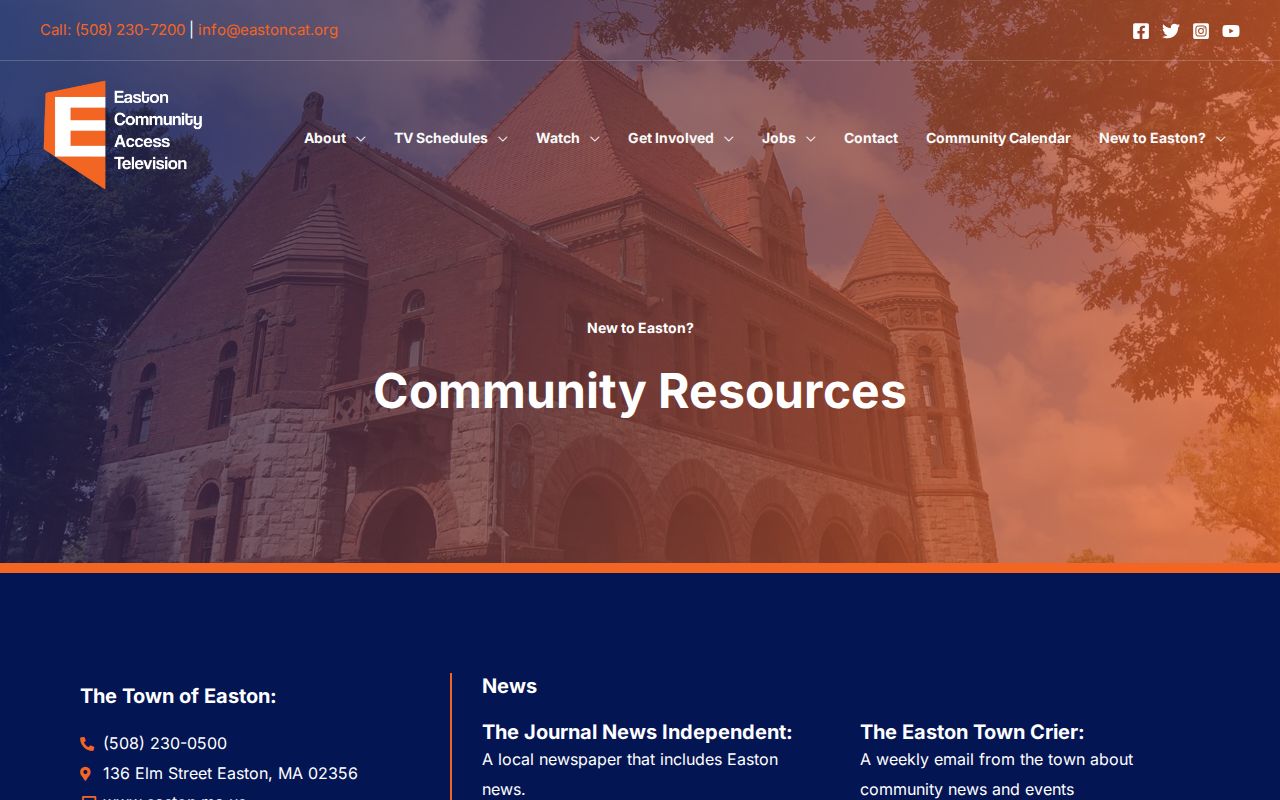
Use this layer for public contact and local context. It should not be combined with other records to build a private roster.
Easton Neighborhood Context for Neighbors
The Easton Historical Society identifies Eastondale, South Easton, Bay Road, Poquanticut, Hayward-Pool, Furnace Village, Unionville, Easton Center, Howard, and North Easton in its neighborhood collection. These names help interpret a historic newspaper, directory, or property reference that does not use a modern street or postal label. They are cultural and historical contexts, not legal subdivisions, parcel boundaries, ZIP boundaries, or zoning districts.
The Historical Society neighborhood collection supplies the source for this Easton neighbors image. It can help put a block in local history without making a current resident claim.
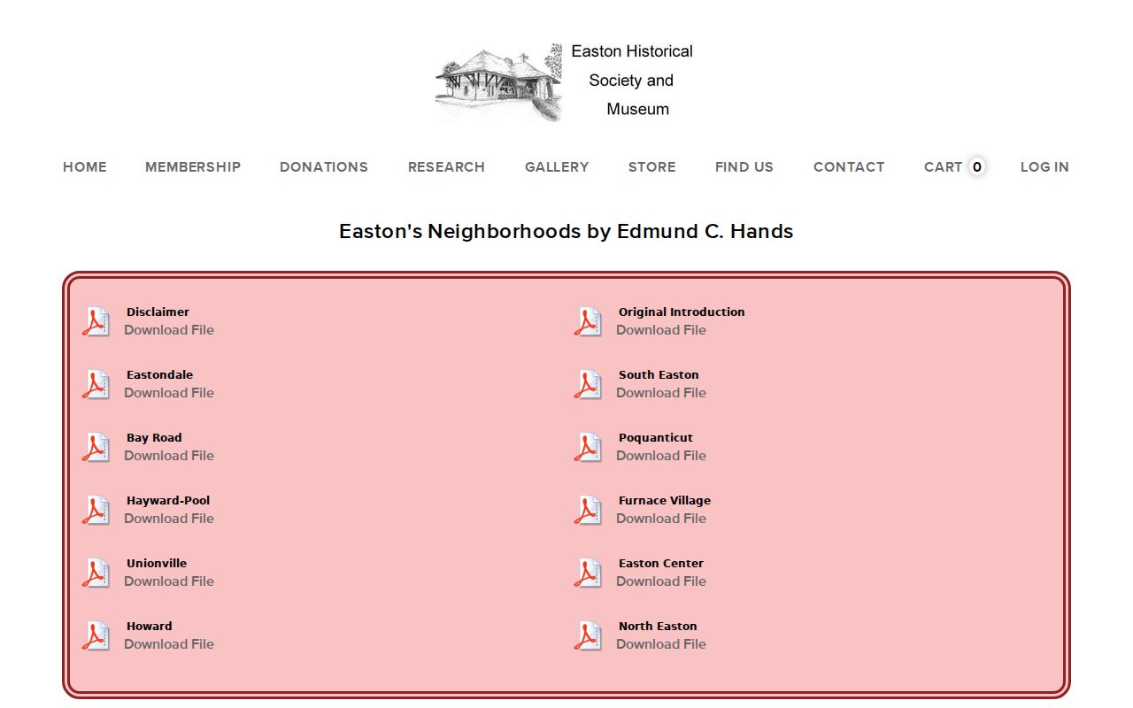
For older addresses, compare the original village name, a parcel identifier, and the contemporaneous map or record date. Do not equate a historic neighborhood label with a current legal boundary.
Official Easton Neighbor Sources Compared
Official records preserve the source date and record role. Paid compiled lookup categories may combine older directories, parcel data, and other inputs, but their freshness and source path can be unclear. For questions about Easton neighbors, an official record lets you see whether a name is an owner, a voter where lawfully available, a party to an instrument, or simply an organization contact.
| Official record route | Compiled lookup category |
|---|---|
| Shows its custodian, record date, and stated role | May combine records from different dates and roles |
| Allows checking the original property, court, or land context | May omit the underlying record or its limitations |
| Uses statutory privacy and correction routes | May require separate correction requests |
Privacy Limits for Easton Neighbors
Massachusetts access is tied to the individual record system. A property card may show an owner, situs, parcel identifiers, assessment, sales, and permit history. A public court docket may show limited party and case information. Neither establishes every person at an address. Protected voters, sealed court matters, confidential vital records, motor-vehicle data, utility information, and Address Confidentiality Program information have separate limits.
M.G.L. c.66 §10 is the general route for a specific town-held public-record request, and a custodian generally responds within 10 business days. Make a narrow request by department, record type, date range, address, or parcel. If a record is wrong, seek correction from the agency that created it. Never try to reverse engineer a protected address from a substitute record.
Lawful use. Use information about Easton neighbors for personal research, block history, and civic awareness. Never use public records to watch, harass, threaten, or intimidate anyone.